|
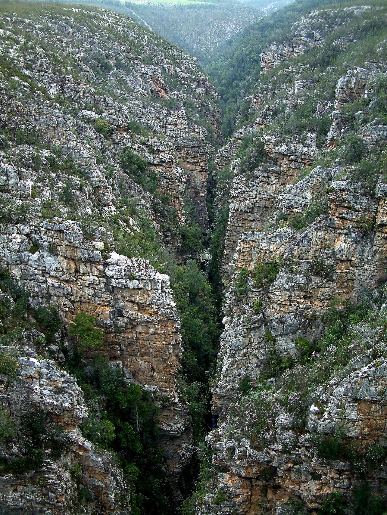 |
| The canyon of the Storms Rivier | |
| Latitude: S 33°58'6,83" | Longitude: E 23°55'55,58" | Altitude: 223 metres | Location: Thornham | State/Province: Eastern Cape | Country: Zuid-Afrika | Copyright: Ron Harkink | See map | |
| Total images: 8 | Help | |
|
|
|
| The canyon of the Storms Rivier | |
| Latitude: S 33°58'6,83" | Longitude: E 23°55'55,58" | Altitude: 223 metres | Location: Thornham | State/Province: Eastern Cape | Country: Zuid-Afrika | Copyright: Ron Harkink | See map | |
| Total images: 8 | Help | |